Models
Models
MINT contains a range of relevant models and datasets, including:
-
Hydrology models to simulate river response to storms and flooding. These models require a large number of spatially-distributed input variables that describe various properties of the topography (e.g. elevation, slope, flow direction, total contributing area), the meteorology (rainfall rate, relative humidity, air temperature, surface temperature, etc.) and the soil (including many intrinsic and hydraulic properties). The models also require information about the bankfull widths, depths and bed roughness of all the channels within the river networks themselves, which are parameterized with empirical formulas. A simpler model is also used to estimate draining potential based on elevation, which does not require rich soil or meteorology data.
-
An agriculture model that generates potential crop yields for a region. This is a point model that works on a 4 x 4 km climate grid. At each grid point, it simulates crop yield for maize, sorghum, wheat, sesame, teff, and peanuts for any choice of seasonal planting dates, fertilization rates, and weed pressure levels.
-
An economic model of decisions by agricultural households that estimates crop production in a region. This model consists of a numerical simulation of a non-linear constrained optimization problem that is calibrated to reflect observed decision-making in the study region. By varying input parameters such as crop prices and fertilizer cost for each crop (cassava, sorghum, maize, groundnuts, teff, or sesame), the simulation generates predictions of how farmers react to potential economic condition changes.
-
A groundwater model for storage and recharge in aquifers. This model considers processes such as infiltration and water flow under the surface through soil and rock fractures. This model can be used to study depletion of groundwater through pumping through wells and irrigation for farming.
-
A drought model that uses data from several climate sources on precipitation and temperature to generate three useful drought indices based on precipitation, precipitation evapotranspiration, and evapotranspiration.
-
Climate data that include precipitation, temperature, and other variables from monthly to daily frequencies. This data is extracted from sources that provide this information at global scales, and subsets of interest are automatically extracted so they are readily available for modeling.
-
Historical water levels extracted from remote sensing data, since observations from river gauges are only available for some points and only for a few years for some regions.
Other datasets needed by the models include soil data, market prices, and other relevant information.
These models and data support a range of scenarios and interventions:
-
Crop yield under different weather conditions, planting date and fertilizer choices, and weed management practices. Interventions that force potential planting windows can be specified as start and end planting dates. Interventions concerning weed control and weed management practices can be reflected as a parameter for the weed fraction remaining after the weed treatments applied by farmers. Soil moisture can condition the realization of a planting event within a given planting window.
-
Crop production under different farmer decisions. Interventions concerning fertilizer subsidies can be expressed as a percentage of fertilizer prices.
-
Flooding under different weather conditions, with detailed flood maps that outline not only the areas that are likely to be affected by floods but the dates when flooding is likely.
-
Drought severity scenarios under different weather forecasts.
We are extending MINT to support integrated modeling. Hydrology model outputs can be used at runtime for the daily time step of agriculture models to improve their accuracy and utility. Agriculture models can be used to study the economic impact of introducing irrigation in a region. In these cases, MINT should ensure that the models are compatible and their inputs and parameters are consistent in order to work together properly.
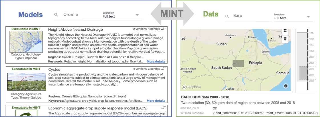
You can browse the MINT Model Catalog and the MINT Data Catalog to see some of the models and datasets that we have been working with. We are working on new capabilities to allow modelers and data scientists to extend MINT with additional models and datasets.